New Google Maps features
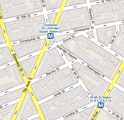
Not sure when these features were added, but Google Maps now displays public transportation stops (NYC subway, the T in Boston, the L in Chicago) and building outlines for metropolitan areas. Here’s a shot of the West Village in NYC:

Tiny but useful improvements. (thx, meg)


Stay Connected