The Concentric States of America

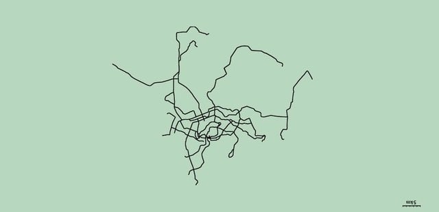
From Neil Freeman, proprietor of the excellent Fake is the New Real, a map of the continental United States with the 50 states reorganized into concentric circles of equal population.
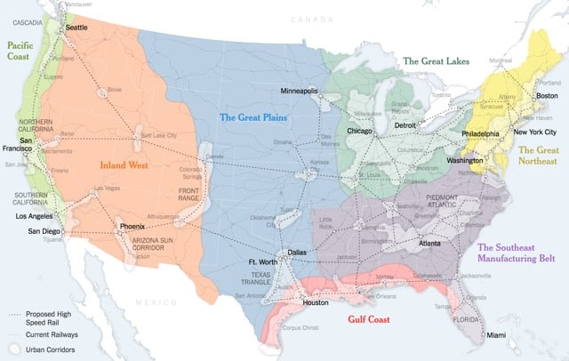
See also the map accompanying Parag Khanna’s recent piece, A New Map for America, which calls for the creation of seven mega-regions centered around metropolitan clusters in place of the lower 48 states: the Pacific Coast, the Inland West, the Great Plains, the Gulf Coast, the Great Lakes, the Southeast Manufacturing Belt, and the Great Northeast.

These days, in the thick of the American presidential primaries, it’s easy to see how the 50 states continue to drive the political system. But increasingly, that’s all they drive — socially and economically, America is reorganizing itself around regional infrastructure lines and metropolitan clusters that ignore state and even national borders. The problem is, the political system hasn’t caught up.
America faces a two-part problem. It’s no secret that the country has fallen behind on infrastructure spending. But it’s not just a matter of how much is spent on catching up, but how and where it is spent. Advanced economies in Western Europe and Asia are reorienting themselves around robust urban clusters of advanced industry. Unfortunately, American policy making remains wedded to an antiquated political structure of 50 distinct states.
To an extent, America is already headed toward a metropolis-first arrangement. The states aren’t about to go away, but economically and socially, the country is drifting toward looser metropolitan and regional formations, anchored by the great cities and urban archipelagos that already lead global economic circuits.
Holy shit, could you imagine? Most of America would have a fit over this.


Stay Connected